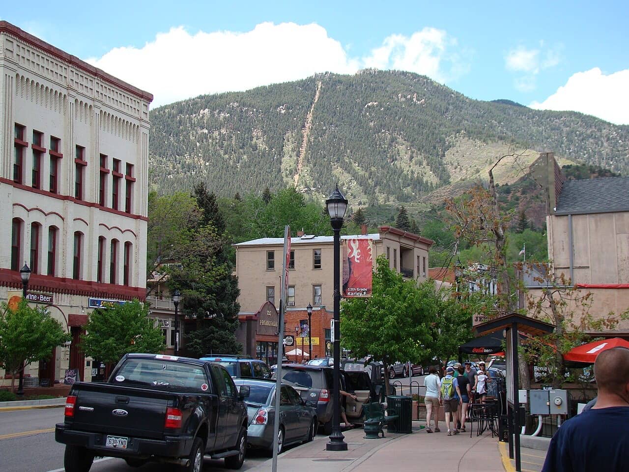
Pick your base by how you go up
| How you go up | Base | Why |
|---|---|---|
| Cog Railway | Manitou Springs | The depot is on Ruxton Avenue. The depot lot is paid and for riders only. Walking in skips it. |
| Barr Trail hike | Manitou Springs | The trailhead is just past the depot. A pre-dawn start is the safe plan. |
| Manitou Incline | Manitou Springs | It starts next to the Barr Trail. You need a free reservation for a time slot. |
| Drive the Highway | Either | The toll road starts at Cascade, up Ute Pass. Book the timed-entry slot first and the room second. |
| Garden of the Gods on the same trip | Colorado Springs west side | The Visitor Center is on North 30th Street, on the west side of Colorado Springs. |
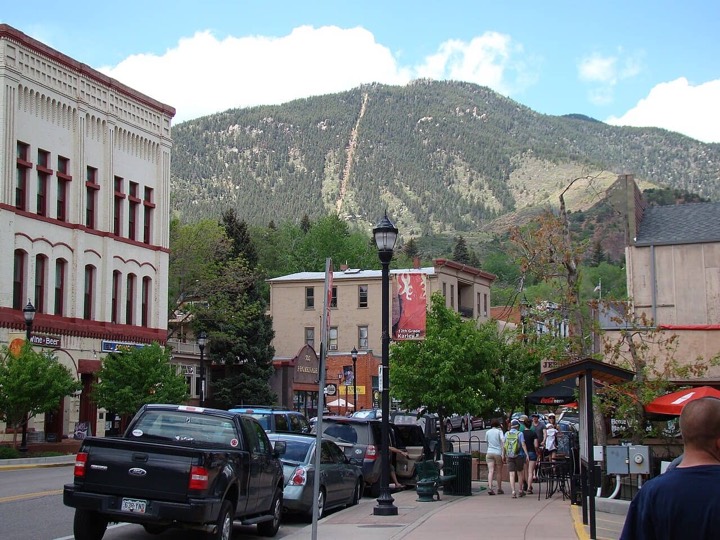
Manitou Springs hotels
Walk to the Cog depot, the Barr Trail and the Incline. Compare rates and availability on Booking.com.
See Manitou Springs rates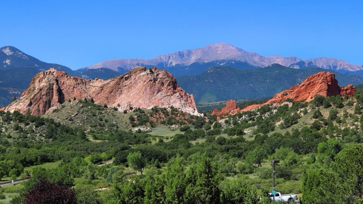
Colorado Springs hotels
The wider choice, the airport, and the west side next to Garden of the Gods. Compare rates on Booking.com.
See Colorado Springs ratesPartner links (Stay22 to Booking.com): we may earn a commission if you book, at no extra cost to you. See disclosure.
Manitou Springs: for the Cog Railway, the Barr Trail and the Incline
The Cog Railway depot (515 Ruxton Ave, Manitou Springs), the Barr Trail trailhead (6,707 ft) and the Manitou Incline all start at the top of Ruxton Avenue. If you are hiking, a pre-dawn start is the safe plan (see the hike time calculator). Sleeping a short walk away removes the drive and the parking hunt at 4 AM.
Colorado Springs: for choice, the airport and the Highway
Colorado Springs has the wider range of hotels and the airport. If you are driving the Pikes Peak Highway, either base works. The west side of town is closest to Garden of the Gods and to Manitou Springs.
Hotels in Manitou Springs: walking times
Places to stay within about 2.5 km (1.6 mi) of the Cog Railway depot, sorted by walking distance to the depot. OpenStreetMap lists 8 named places in that radius; places not mapped there do not appear. Walking times to the depot run from 19 to 32 minutes.
| Name (OpenStreetMap) | Walk to Cog depot | Walk to Barr trailhead | Rates |
|---|---|---|---|
| The Cliff House Hotel | 19 min (0.9 mi) | 23 min (1.1 mi) | Check pricesalso on Klook |
| The fountain creek inn Hotel | 20 min (0.9 mi) | 24 min (1.1 mi) | Check prices |
| Agate Hill B&B Cottages Hotel | 21 min (1.0 mi) | 25 min (1.2 mi) | Check prices |
| Avenue Hotel Bed and Breakfast Hotel | 22 min (1.0 mi) | 26 min (1.2 mi) | Check prices |
| Pikes Peak Inn Hotel | 24 min (1.1 mi) | 27 min (1.3 mi) | Check prices |
| Waltons Mountain Lodge Guest house | 27 min (1.3 mi) | 31 min (1.4 mi) | Check prices |
| Villa Motel Motel | 27 min (1.3 mi) | 31 min (1.5 mi) | Check prices |
| Eagle Motel Motel | 32 min (1.5 mi) | 36 min (1.7 mi) | Check prices |
Ruxton Avenue climbs from Manitou Avenue to the depot. The times assume flat-ground walking pace, so allow extra minutes uphill.
Colorado Springs west side: walking times to Garden of the Gods
Places to stay within about 3 km (1.9 mi) of the Garden of the Gods Visitor & Nature Center that are not already in the Manitou list, sorted by walking distance to the Visitor Center. Walking routes follow streets and paths, so some places that look close on a map are a long walk. Walking times run from 32 to 85 minutes.
| Name (OpenStreetMap) | Walk to Visitor Center | Rates |
|---|---|---|
| Garden of the Gods Club Hotel | 32 min (1.5 mi) | Check prices |
| Garden of the Gods Motel Motel | 45 min (2.1 mi) | Check prices |
| Mountainscape Hotel Motel | 48 min (2.2 mi) | Check prices |
| Timber Lodge Cabin | 49 min (2.3 mi) | Check prices |
| Rainbow Motel Colorado Springs Motel | 50 min (2.3 mi) | Check prices |
| Mel-Haven Lodge Motel | 50 min (2.3 mi) | Check prices |
| Hotel San Ayre by Bud+Breakfast Motel | 52 min (2.4 mi) | Check prices |
| Red Wing Motel Motel | 52 min (2.5 mi) | Check prices |
| El Colorado Lodge Motel | 53 min (2.5 mi) | Check prices |
| Holiday Inn Express & Suites - Manitou Springs Hotel | 58 min (2.7 mi) | Check prices |
| TownePlace Suites Colorado Springs Garden of the Gods Hotel | 63 min (2.9 mi) | Check prices |
| Executive Residency by Best Western Hotel | 80 min (3.7 mi) | Check prices |
| Park Inn by Radisson Hotel | 85 min (4.0 mi) | Check prices |
"Check prices" opens a Booking.com search for that name through our partner Stay22; Booking's page decides what matches, and a place may not be listed there. "Also on Klook" is the one listed place Klook sells. Partner links: we may earn a commission if you book, at no extra cost to you. See disclosure.
What these lists are
- They are the places tagged as a hotel, motel, guest house, hostel, cabin, apartment or campground in OpenStreetMap, with a name, fetched 2026-11-03.
- This page shows no ratings or prices; the "Check prices" button opens Booking.com.
- OpenStreetMap is edited by volunteers. A place may have closed, changed its name or be missing. Check with the property before you book.
- Walking times are computed with the OSRM router on the foot profile, from the property's map point to each start point. They are door-to-door estimates, not timed walks.
Parking in Manitou Springs
- There is no free parking in Manitou Springs. City lots link to the Route 33 shuttle.
- The Cog Railway lot is for riders only, not for hiking the Incline or the Barr Trail.
- Incline hikers should not park in the Barr Trail lot. The city points them to the Dillon Mobility Hub, the Hiawatha Gardens lot (free Incline shuttle) or the Iron Springs Chateau lot.
- Ask your hotel whether parking is included before you book. A walkable base means you can leave the car there.
Altitude tip
Both towns sit at roughly 6,000 ft and above. A night there before the summit is gentler on visitors coming from sea level than driving straight up from Denver on arrival day. See altitude and summit weather.
Sources (10)· checked 2026-11-03
- City of Colorado Springs: Manitou Incline
- Cog Railway: FAQ
- Cog Railway: the route
- Cog Railway: ticket terms
- NOAA 1991 to 2020 climate normals, Colorado Springs airport
- OpenStreetMap contributors (ODbL)
- OpenStreetMap data via the Overpass API
- Walking routes: OSRM foot profile (FOSSGIS)
- Wikipedia: Barr Trail
- Wikipedia: Pikes Peak
All sources for this topic: Cog Railway on the facts page.
Place names and locations © OpenStreetMap contributors, ODbL. Walking routes: OSRM foot profile on the FOSSGIS server (routing.openstreetmap.de), built on OpenStreetMap data.
Updated Nov 3, 2026 by Rainer Lang. Rules and prices change; confirm with the operator before you travel.