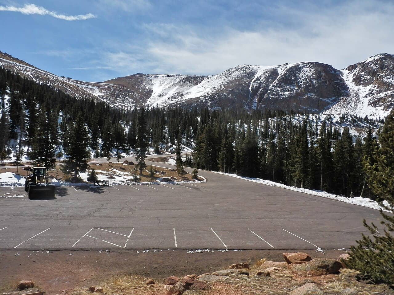
Is the Pikes Peak drive scary?
For most drivers it is a steep, slow mountain road rather than a frightening one: paved to the top, 30 mph limit, and uphill traffic has the right of way. What unsettles people is the top third, where the road leaves the trees and climbs through switchbacks with long open views; by our measurement 6.6 miles of it lie at or above 11,500 ft.
- The lower half is a forest road. From the Gateway (mile 3) to Halfway (mile 10) the road climbs gently past Crystal Reservoir, with a nearly flat stretch around miles 6 and 7.
- Miles 10 to 15 are the switchback section. 9 of the 11 switchbacks we count lie here, with grades of about 9% mile after mile. Glen Cove, the brake check stop, sits in the middle at 11,440 ft.
- Above Glen Cove the trees end. The road runs in the open to the summit, past Devils Playground, with a last steep mile of 9.9% before the top.
Where the road is steep: our grade profile
| Steepest half mile | 10.1% average, near marker mile 9.5 (9,891 to 10,158 ft), below Halfway |
|---|---|
| Steepest full mile | 9.9%, near marker mile 17.7 (13,469 to 13,992 ft), the last climb to the summit |
| Miles at 9% or more | 6 of the 17 miles above the Gateway |
| Switchbacks | 11 above the Gateway, near marker miles 10.1, 11.7, 12.1, 12.8, 13.5, 14.1, 14.7, 14.9, 15.2, 18.4, 18.8; 8 of them above 11,500 ft |
| Above treeline | 6.6 miles of road at or above 11,500 ft; 5.6 miles above 12,000 ft |
| Climb | 5,622 ft from the Gateway to the summit |
Grade for every mile
| Around marker mile | From | To | Average grade |
|---|---|---|---|
| 3.1 | 8,526 ft | 8,753 ft | 4.3% |
| 4.1 | 8,753 ft | 9,123 ft | 7% |
| 5 | 9,123 ft | 9,334 ft | 4% |
| 6 | 9,334 ft | 9,370 ft | 0.7% |
| 7 | 9,370 ft | 9,462 ft | 1.7% |
| 7.9 | 9,462 ft | 9,644 ft | 3.4% |
| 8.9 | 9,644 ft | 9,997 ft | 8.4% |
| 9.9 | 10,158 ft | 10,601 ft | 9.3% |
| 10.8 | 10,601 ft | 11,095 ft | 9.4% |
| 11.8 | 11,095 ft | 11,577 ft | 9.1% |
| 12.8 | 11,577 ft | 12,062 ft | 9.2% |
| 13.7 | 12,062 ft | 12,552 ft | 9.3% |
| 14.7 | 12,552 ft | 12,963 ft | 7.8% |
| 15.7 | 12,963 ft | 13,103 ft | 2.7% |
| 16.6 | 13,103 ft | 13,416 ft | 5.9% |
| 17.6 | 13,416 ft | 13,939 ft | 9.9% |
| 18.6 | 13,939 ft | 14,104 ft | 7.3% |
How we measured the roadOpenStreetMap, USGS 3DEP, our rules
- Road line: OpenStreetMap contributors (ODbL), ways named Pikes Peak Highway, fetched 2026-11-07 via Overpass API; shortest path through the way network from the node nearest the Gateway to the node nearest the summit.
- Elevation: USGS 3DEP via Elevation Point Query Service (epqs.nationalmap.gov), fetched 2026-11-07. 16 of 186 samples had no USGS value and are skipped.
- Method: Resampled every 0.1 mi; grade = elevation change over distance between samples; switchback = heading change of 120 degrees or more between successive 0.1 mi samples, merged when within 0.15 mi.
- Marker miles: the city's signs call the Gateway mile 3 and the summit mile 19. We map the 16.5 measured miles between them onto those 16 sign miles, so our "marker mile" can differ from the sign by a few tenths.
- Treeline at 11,500 ft is our cut. Trees thin out over a band, not at a line: Wikipedia puts timberline on Pikes Peak at about 12,000 ft, and the Barr Trail's A-Frame shelter "at treeline" is listed at 11,750 to 12,098 ft. We took the lower end so the figure errs toward more open road.
- Grades are averages between samples 0.1 mi apart; a short pitch can be steeper than any average here.
Turn-around planner: how far do you want to drive?
Pick the last stop you are sure about. You see what the drive to it involves, and how to get the rest of the way without driving.
Is the Pikes Peak Highway dangerous?
We found no official crash statistics for the Highway. The city operates it with Rangers, a brake-temperature check at Glen Cove in busy periods and clear rules: low gears, no trailers, uphill traffic first. The crashes we found in local news involved unusual circumstances, such as a driver going through the gates or alcohol.
The city's own advice for the drive up: use a low gear for the first two miles beyond the Gateway, stay in lower gears on steep grades, keep the air conditioning off on the climb so the engine does not overheat, stay on your side of the road and never cut corners. If traffic builds up behind you, pull into a turnout and let it pass. Start with at least half a tank. Watch for cyclists.
What is the brake check at Glen Cove?
In busy periods Highway Rangers check brake temperatures on the way down at Glen Cove (mile 13, 11,440 ft). If your brakes are too hot, you may be asked to pull over and let them cool before you continue. Glen Cove has restrooms, a café, first aid and a shuttle stop, so it is a good place to wait.
How do you drive down Pikes Peak?
In a low gear or low range, so the engine holds your speed, and with firm, short brake applications instead of constant pressure. The city warns that riding the brakes can cause brake fade or failure. That is also why an automatic must have a "1" or "L" gear to be allowed on the Highway. Uphill traffic keeps the right of way on the descent too.
Has any car fallen off Pikes Peak?
Yes, cars have left the road. Local TV reported a vehicle that went off above treeline below Devils Playground in April 2021, after police said the driver had driven through the gates at the bottom of the mountain, and a car that drove off in July 2016, where police said alcohol was a factor. Race cars also leave the course in the Hill Climb.
These are examples from local TV, citing Colorado Springs Police, not a count; we found no official statistic. In the Hill Climb, the organiser reported three cars leaving the course on race day 2026 alone, at racing speed on a closed road (see Hill Climb safety history).
Does the Pikes Peak Highway have guardrails?
In places. The official driving pages we read do not say where the road has guardrails and where it does not, so we cannot map them. Wikipedia's account of the 2012 Hill Climb mentions a guard rail in the W switchbacks, so there are rails at least there.
What we can say from the data: the road above treeline is where the views open up, and the 8 switchbacks above 11,500 ft are where you look out rather than into trees. The W's are the switchbacks on the northwest side of the mountain. Stay on your side, keep to 30 mph or less, and look at the road, not over the edge.
What if you get scared on the way up?
- Pull into a turnout. The city asks drivers to stop only in designated turnouts, or on a straight section where the car is clearly visible if it is an emergency.
- Turn around at a stop with parking. Crystal Reservoir (mile 6), Halfway (mile 10) and Glen Cove (mile 13) all have parking areas where you can turn around. This is our suggestion, not an official rule.
- Swap drivers. A passenger who is calm on mountain roads can take over at a turnout.
- Ask a Ranger. The city's advice is to flag down a Pikes Peak Highway Ranger if you need help.
- Leave the driving to someone else next time. In summer a shuttle runs from the mile 7 lot to Glen Cove, Devils Playground and the summit, with no time limit at any stop. In 2026 it ran daily from May 22 to August 9, then weekends and Labor Day to September 27, for $40 per adult including admission; 2027 dates are not out yet.
Can you still drive to the top of Pikes Peak?
Yes. The Highway is open year-round, weather permitting, to the 14,115 ft summit. In the summer season you need a timed-entry permit to drive past mile 7; in winter snow often stops the road part-way, so check the road status on the day.
The permit costs $2 per vehicle on top of admission. Snow is the usual reason the road stops short: on November 3, 2026 it was open only to Crystal Reservoir (mile 6). See is Pikes Peak open today before you set off, and the Highway page for rates, hours and the group cost calculator.
Skip the drive
Three ways to the summit without driving the upper mountain yourself: the Highway shuttle from mile 7 in summer, the Cog Railway from Manitou Springs year-round, or a guided Jeep tour where a local drives and the timed-entry permit is included.
Jeep tours from Colorado Springs and Manitou Springs
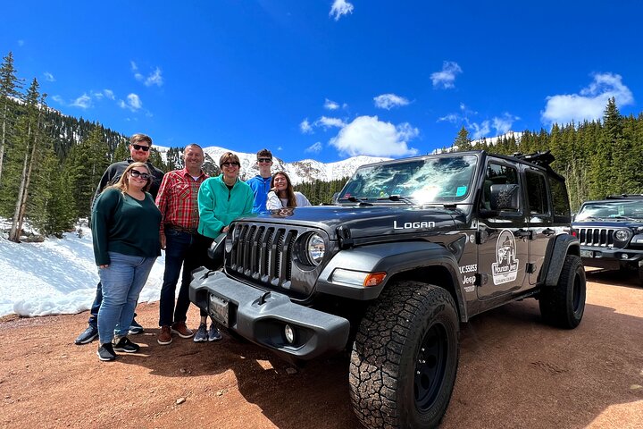
Pikes Peak Jeep Tour
- Free cancellation (24 hours)
- Reserve now, pay later
Also on GetYourGuide: 4.9 ★ (59), $140 per person · check there
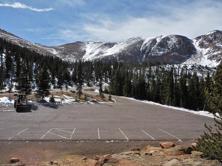
Colorado Springs: Pikes Peak Luxury Jeep Tour
- Free cancellation (24 hours)
- Reserve now, pay later
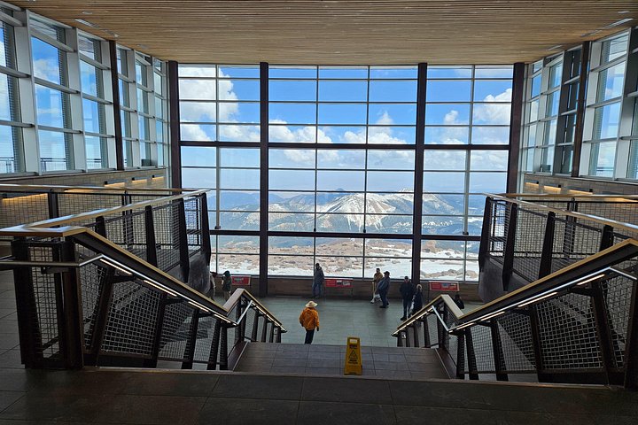
Colorado Springs Pikes Peak Luxury Jeep Tours
- Free cancellation (24 hours)
- Reserve now, pay later
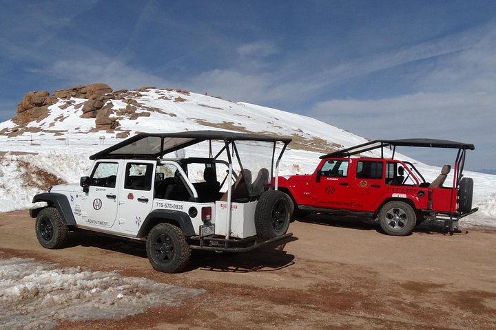
Pikes Peak and Garden of the Gods Jeep Tour
- Free cancellation (24 hours)
- Reserve now, pay later
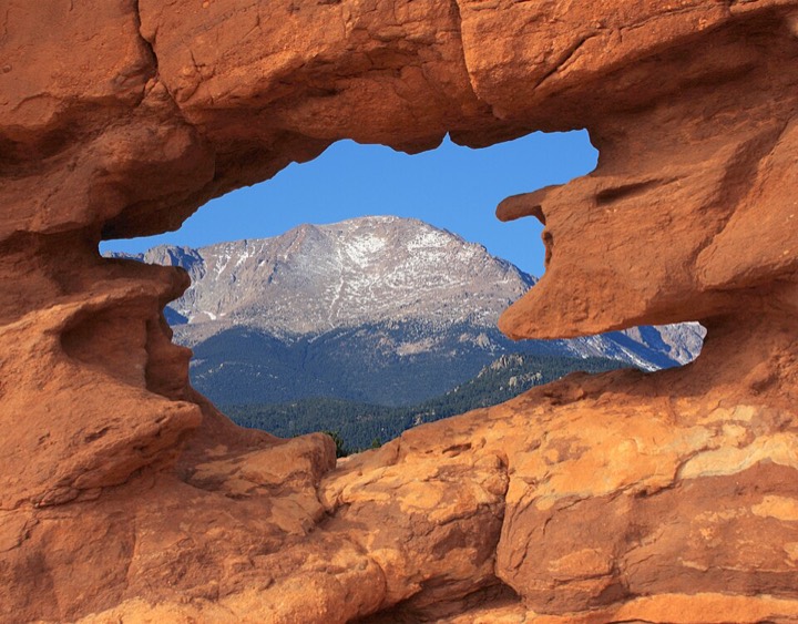
Pikes Peak and Garden of the Gods Jeep Tour
- Free cancellation (24 hours)
- Reserve now, pay later
Prices, ratings and policies as shown on GetYourGuide on 2026-11-03 and Viator on 2026-11-07; ratings are theirs, not ours, and the booking page is what counts. Partner links: we may earn a commission if you book, at no extra cost to you (disclosure). Other card photos are ours: Alexander Migl (CC BY-SA 4.0), Beverly Lussier (public domain) via Wikimedia Commons. Viator card photos: Viator and the tour operators, via the Viator Partner API, read on 2026-11-07.


Coming from further away? How to get to Pikes Peak has drive times from Denver and the airports, and tours that pick you up in Denver.
Sources (22)· checked 2026-11-07
- City of Colorado Springs: 2026 permit and shuttle release2026-11-03
- KKTV, April 7, 2021: vehicle off the Highway below Devils Playground
- KKTV, July 17, 2016: car off the Pikes Peak Highway
- OpenStreetMap contributors (ODbL)
- OpenStreetMap data via the Overpass API
- Pikes Peak Highway home page and road status2026-11-03
- Pikes Peak Highway rate sheet and hours (PDF, Sept 2026)2026-11-03
- Pikes Peak Highway: FAQ2026-11-03
- Pikes Peak Highway: Glen Cove
- Pikes Peak Highway: hours and rates2026-11-03
- Pikes Peak Highway: mountain driving
- Pikes Peak Highway: shuttle2026-11-03
- Pikes Peak Highway: tickets and timed entry2026-11-03
- Pikes Peak Highway: vehicle restrictions2026-11-03
- Pikes Peak Highway: winter recreation2026-11-03
- Pikes Peak International Hill Climb: 2026 race report
- Pikes Peak Marathon: course info2026-11-03
- USGS 3DEP elevation service
- Wikipedia: Barr Trail2026-11-03
- Wikipedia: Pikes Peak
- Wikipedia: Pikes Peak Highway
- Wikipedia: Pikes Peak International Hill Climb
All sources for this topic: Pikes Peak Highway on the facts page.
Last checked Nov 7, 2026 by Rainer Lang. Rules and prices change; confirm with the operator before you travel.